
Monroe Township Neighbors and Block Records
Public sources describe different parts of the block. GIS maps show parcel geometry and nearby roads. Assessment records describe an owner, mailing address, situs address, class, and block-and-lot identifiers. Deeds can document a change in ownership. Election data is organized by district, not by a public map of every household. None of those sources creates a complete list of Monroe Township neighbors, especially for renters, children, unregistered people, and protected residents.
| Source | What It Shows About a Block | Access |
|---|---|---|
| GIS parcel layer | Parcel geometry, adjacent lots, roads, and mapped districts | Public ArcGIS viewer; click or identify a parcel; layers are snapshots |
| Assessment roll | Owner, mailing and situs addresses, class, assessment, block, lot, and qualifier | County-linked assessment search; county or municipal counter |
| Deed index | Ownership changes and legal descriptions for a parcel | Online series and older books; search owner and legal description |
| Voter registry list | Registered voters by election district, with permitted fields | County list request under statutory use rules |
| Zoning and permit records | Work, owner or applicant, contractor, and board approvals by block or lot | Municipal office or OPRA; no public indexed map was located |
| Historic map or reverse directory | Past buildings, uses, and possible address-to-occupant context | Library, archive, shelf, or microfilm; local complete run is unverified |
Owners and occupants are not the same category. An owner may receive tax mail elsewhere, and an adjacent parcel can be a common area, road, utility parcel, or condominium footprint. The block lookup starts with land geography, then uses each record only for the fact it actually contains.
Map Monroe Township Neighbor Parcels
The county GIS method begins with the target parcel rather than a name. Search or zoom to the address, select its polygon, and record the parcel ID, block, and lot. Close the popup before clicking every polygon that appears to adjoin it. Aerial and road layers help distinguish a real shared line from a road, stream, tax-lot gap, or mapped common area. If the live ArcGIS viewer offers a selection, buffer, or measure tool, a small radius may help locate surrounding parcels, but the exact buttons and buffer workflow were not verified in text inspection.
- Find the target address or map area in the Gloucester County GIS viewer.
- Select the target parcel and note its parcel ID, block, lot, qualifier, and situs address.
- Click each adjoining polygon on every side, checking roads, streams, and common areas before calling it adjacent.
- Use the assessment search for each nearby parcel and keep its mailing address separate from its situs address.
- Use a deed or map only when the legal description is needed to explain a lot split, boundary, or ownership change.
The Gloucester County ArcGIS hub is the verified public route to the parcel viewer. It is the geographic starting point for identifying Monroe Township neighbors, not a record of everyone who may live near an address.
A selected parcel and surrounding polygons give the block its physical outline. The next check is the assessment record, where owner mailing information must be compared with the property address.
Monroe Township Neighbor Parcel Limits
Adjacent parcel does not mean adjacent household. One parcel can hold more than one ownership interest, while a condominium qualifier can create several records inside a single mapped footprint. Common areas can belong to an association or developer. Public roads and utility parcels are not households. A driveway, school boundary, or social connection also does not create a GIS neighbor relationship.
For each surrounding parcel, repeat the mailing-versus-situs check. The situs address is where the parcel is located and how GIS, permits, and emergency addressing generally identify it. The owner mailing address is where tax correspondence goes. It may be another residence, a business, a post-office box, or an address outside the county. An occupancy deduction can suggest an owner claimed a connection to a parcel, but it is not proof that the owner was there on a particular date.
County GIS layers can include parcel boundaries, aerials, roads, municipal boundaries, zoning, land use, flood or wetlands data, and published districts. Their vintage can lag a recorded deed or local readdressing. For map-layer questions, County Planning/GIS lists 856-307-6650 as its support contact.
Note: A map layer can orient the parcel, but a current recorded instrument takes precedence when the two dates conflict.
Monroe Township Neighbor Civic Routes
Monroe Township's official pages do not publish a consolidated HOA or member directory. That gap matters: a development name is not permission to infer a private roster. The verified path is to ask whether a group has a public contact route, using the township clerk, planning or zoning records, library reference staff, the county resource directory, or the group's own public contact page. The routes below are documented local or county resources, not lists of private members.
| Route | Confirmed local connection | Access |
|---|---|---|
| Monroe Township Historical Society | Preserves Squankum, Williamstown, and Monroe Township history; has the Reading Room, Hall Street Little School, Ireland Hofer House Museum, and a Plain Dealer microfilm collection | Scheduled research appointment; the volunteer model does not imply a walk-in people directory |
| Free Public Library of Monroe Township | Reference staff, catalog, public computers, and interlibrary-loan route for Williamstown, Monroe Township, county histories, telephone books, yearbooks, obituaries, and local newspapers | 713 Marsha Avenue, Williamstown; 856-629-1212; confirm current hours before visiting |
| Township clerk and planning or zoning records | Can identify public meeting material, board records, and whether a public group contact exists | Municipal building, 125 Virginia Avenue, Williamstown; written OPRA request where applicable |
| Gloucester County resource directory | Browsable county business and resource listings with city, state, and ZIP fields | Public category, name, and first-letter search; a listing is not a resident directory |
The Gloucester County resource directory provides a public category and name search route. It can help locate an organization or public contact, but a city or ZIP field in a listing does not identify Monroe Township neighbors.
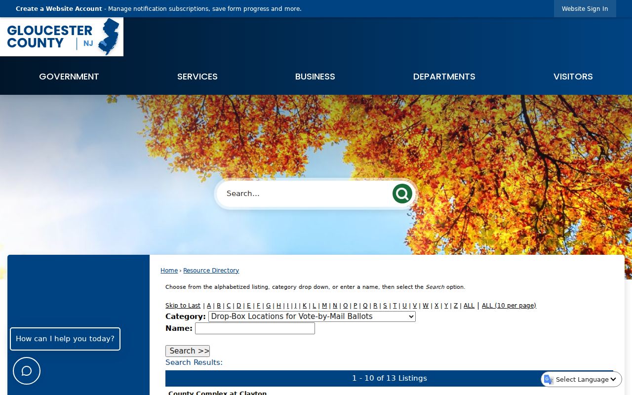
The directory is a starting point for verified public-facing contacts. It does not replace direct confirmation from an organization, the township clerk, or a library reference search.
Monroe Township Neighbors by Election District
Voter records have a narrower block role than parcel maps. N.J.S.A. 19:31-18 describes registry lists organized by election district, with name, address, date of birth, party affiliation, and voting history subject to redactions. Signatures, Social Security numbers, driver's-license information, and approved protected addresses are not ordinary list content. Voting history records participation, never ballot choices.
The individual New Jersey Voter Search is exact-name oriented. It does not offer a public feature to show every voter on one block or in a ZIP code. A lawful list request to the county Commissioner or Clerk is the documented route for election-district data, and restrictions apply to its use. The research states that printed district lists through the county clerk cost 25 cents per copy, while electronic commissioner copies are limited to reproduction cost and capped at $375.
The Gloucester County Elections page lists the official county routes for registration, polling, sample ballots, and election resources. It is the appropriate starting point when a Monroe Township address must be checked against current election administration rather than a parcel boundary.
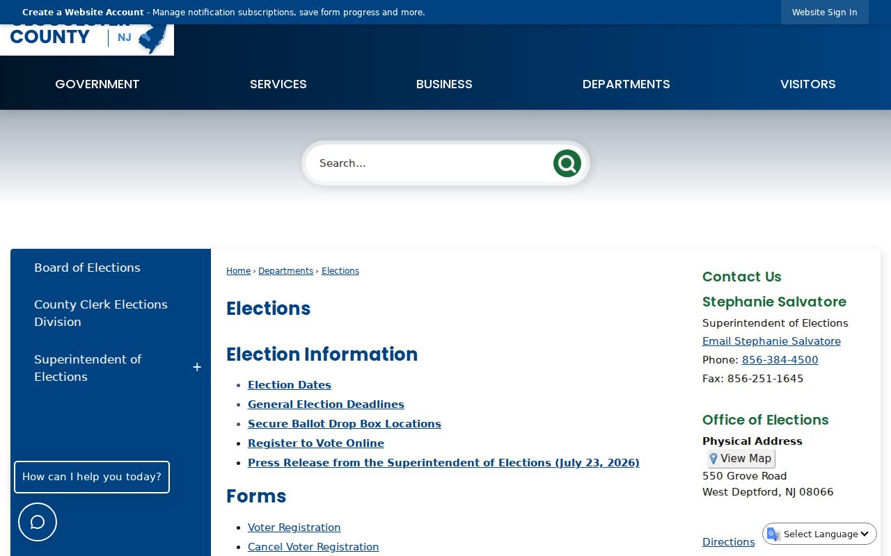
Election records provide district-based information under New Jersey rules. They do not turn an adjacent-parcel map into a list of every person in nearby homes.
Note: An election district can differ from a delivery ZIP and from the boundaries of adjacent tax parcels.
Official Monroe Township Neighbor Records
Official records and commercial neighbor-lookup tools serve different purposes. County sources can be checked against the custodian and tied to a parcel, instrument, or election district. Commercial tools compile information from many places and may be inaccurate. Use the official parcel, assessment, deed, and public filing records to verify the limited fact at issue, rather than treating a compiled result as a household census.
| Check | Official parcel and filing records | Commercial neighbor-lookup tools |
|---|---|---|
| Geography | GIS identifies mapped parcels, roads, and municipal layers | May group names around an address without showing the parcel boundary |
| Ownership | Assessment and deed records can be checked by situs, block, lot, qualifier, or instrument | Compiled entries may be outdated or assigned to the wrong address |
| Occupancy | Does not prove every person who lives at a property | Does not cure that gap and should not be treated as a household list |
| Correction path | Contact the record custodian with the parcel, instrument, or case reference | Use the provider's own correction or privacy route, then retain confirmation |
For a current property question, begin with the county's assessment-record entry point, then verify the mapped parcel. The Gloucester County Clerk's online land-record index and record room provide the ownership-document layer; older records can require microfilm, the Historical Society, State Archives, or FamilySearch.
Monroe Township Neighbor Privacy Limits
Several parts of a block remain private or protected. Renters, non-registered household members, children, utility customers, package recipients, and private HOA membership are not public parcel-roll fields. The individual voter tool does not establish that someone is absent from a home. A missing street address can be intentional: New Jersey protects approved voter addresses, Address Confidentiality Program participants, and Daniel's Law covered people.
The New Jersey Address Confidentiality Program supplies an eligible person with a substitute address and mail forwarding after threats or fear of harm. Daniel's Law protects qualifying judicial officers, law-enforcement officers, prosecutors, child-protective investigators, and household members. County Clerk guidance says covered land records remain indexed, while public images and physical book pages are inaccessible. A missing result may therefore show that a protection is working, not that the underlying record disappeared.
Monroe Township Neighbors and Community Names
Block research can cross a postal or historical label before it crosses a municipal line. Williamstown is the principal postal identity, while Victory Lakes is a later planned community and Cecil, Downer, Cross Keys, Radix, and New Brooklyn preserve older rural names. A 1913 directory may use farm, route, or community wording that does not match a current parcel address. The legal municipality remains Monroe Township in Gloucester County even when a source uses a community or postal name.
That records geography helps explain why an immediate-neighbor search needs the parcel, not only a street name. Compare the current GIS polygon and tax block/lot to historic maps, newspaper microfilm, or old directory entries. The Monroe Township Historical Society's Plain Dealer microfilm and the Gloucester County Historical Society's newspaper and property collections can provide historical context, but neither should be treated as proof of present occupancy.
Note: Community names are useful search terms, while parcel identifiers and municipal boundaries determine the legal location of a Monroe Township record.
Monroe Township Neighbor Records Beyond Parcels
Permit and board records can add a dated property layer without creating a resident list. Monroe zoning and construction materials can include a work-site address, block/lot, owner or mailing address, contractor, proposed work, approvals, inspections, and certificates. The township has paper or PDF applications and an OPRA route, but research did not locate a public address-search database. A permit applicant or contractor is not automatically a person who lived at the address.
For historic context, Williamstown Sanborn sheets exist for 1895, 1900, 1905, 1910, and 1923. They can show building footprints, use, street names, and lots, but not title or every owner. Historic reverse directories may supply address-to-occupant evidence, though a complete local run has not been verified. The best fallback is the library catalog, the Monroe Historical Society, Gloucester County Historical Society, or an OPRA request for a defined block, lot, date range, and record type.