
Monroe Township ZIP Code Coverage
Monroe Township is the legal municipality, while Williamstown is its main postal and census-designated identity. Two delivery ZIP codes intersect the township: 08094 and 08312. They are useful ways to organize an address search, yet neither boundary is the township line. The street, tax parcel, and municipality must still agree before a record is treated as a Monroe Township record. That distinction matters near the Clayton and Franklin Township side, where an address can have a Clayton mailing city while its tax parcel remains in Monroe Township.
| ZIP | Areas Covered | Post Office | Notes |
|---|---|---|---|
| 08094 | Primary Williamstown postal area, Monroe Township core, and portions of communities such as Victory Lakes, Cecil, and Collings Lakes | Williamstown, NJ 08094 | Standard street-delivery ZIP. It extends outside Monroe Township, so USPS street-level verification controls. |
| 08312 | Parts of Monroe Township near the Clayton and Franklin Township side | Clayton, NJ 08312 | Standard street-delivery ZIP also serving Clayton and Franklin Township. A Monroe parcel may properly use Clayton as its postal city. |
There is no ZIP-wide resident roll for either delivery area. The practical use of this ZIP code directory is to narrow an exact address, then compare the returned postal information with a parcel record. A mailing city is not a replacement for the township shown by tax and municipal records.
Monroe Township ZIP Code Delivery Areas
The 08094 label usually points to Williamstown, but it also reaches beyond the municipality and can accompany several local community names. The 08312 label can occur on a Monroe Township parcel even though Clayton is the postal city. That is a delivery convention, not a change in the location of the parcel. Monroe Township (Gloucester County) should be selected carefully in county and state systems, since New Jersey also has a separate Monroe Township in Middlesex County.
Use the official USPS address lookup with the full street address, city, and state when mailing accuracy matters. It returns the ZIP or ZIP+4 associated with that delivery address. Then retain the exact result with the property search notes, rather than substituting the postal city from memory. The county record offices themselves may use Woodbury 08096 or Clayton 08312 mailing addresses while serving Monroe Township parcels.
Verify Monroe Township ZIP Codes
ZIP verification works best as an address-by-address process. A broad postal label can cross township lines, and a historical source may name Downer, Cross Keys, Radix, New Brooklyn, Cecil, or Victory Lakes rather than the present mailing city. Begin with the delivery address, then keep the legal municipality and parcel identifiers alongside the ZIP result. That leaves a clear trail when the same place has both a postal name and a tax-record name.
- ZIP
- A postal delivery area. It helps route mail but does not define Monroe Township's legal boundary.
- ZIP+4
- The four digits added to a basic ZIP for a more specific delivery segment. USPS returns it for a verified address when available.
- PO box ZIP
- A ZIP used for post-office boxes. It is not evidence of the physical location of a parcel or household.
- Carrier route
- A mail-delivery grouping within a postal area. It is a routing tool, not a municipal district or a record of occupants.
USPS is the final source for the mailing ZIP. County GIS and assessment systems answer a different question: where the parcel is located and how it is identified for local records. Keeping those roles separate avoids treating a valid postal city as a mistaken township entry.
Note: A ZIP+4 improves mail delivery detail, but the county tax record remains keyed to a parcel and municipality.
Search Monroe Township ZIP Code Parcels
A ZIP code can narrow the property trail, but the assessment system is the key next step. Gloucester County links its tax-record search to an external assessment interface where owner-name and address searching are available. The research documents three core ways to locate a parcel: owner name, situs address, and block/lot. Set the municipality to Monroe first whenever the live form offers that field. A ZIP-only result may include parcels outside the township because both local ZIPs cross municipal borders.
- Confirm the exact delivery ZIP and ZIP+4 through the USPS address lookup.
- Open the county's tax-record search landing page and enter Monroe Township before using the address or owner search.
- Record the situs address, owner mailing address, block, lot, qualifier, tax year, and source date from the assessment result.
- Open the GIS parcel view to compare the selected parcel with the municipal boundary and nearby roads.
- Use the parcel's street and legal identifiers for a more detailed by-address trail in the Monroe Township street directory.
The owner mailing address may be a different residence, business address, or post-office box. It shows where tax correspondence goes, not necessarily who is present at the situs address on a particular day.
Monroe Township ZIP Code Search Fields
The assessment and GIS tools use different keys. Assessment connects a name or address to a tax record. GIS connects a place search to a mapped parcel. The field choices below reflect the county assessment and GIS inspection notes, with ZIP treated as a possible result or vendor-dependent filter rather than a substitute for a parcel key.
| Field or control | Use in a Monroe Township ZIP code search |
|---|---|
| Municipality | Select Monroe before a ZIP, street, or owner search to avoid pulling in other places served by 08094 or 08312. |
| Owner name | Finds an assessment record by the listed owner. Compare the returned mailing address with the situs address. |
| Situs address | Finds the physical parcel address and is the best bridge from a verified ZIP to the tax record. |
| Block, lot, qualifier | Identifies the New Jersey parcel when a street address is old, incomplete, or shared with another delivery label. |
| Address or place search | In GIS, locates a map area. Confirm the parcel layer, municipal boundary, roads, and selected polygon. |
A county GIS gateway leads to the public ArcGIS hub for parcel geography. The county says layer vintage varies, so a GIS display can lag a recently recorded deed or local readdressing. For questions about map layers, County Planning/GIS lists support at 856-307-6650.
The Gloucester County tax-record landing page shows the route to the linked assessment search. Its image is useful for recognizing the county entry point before moving from a verified ZIP to the parcel record.
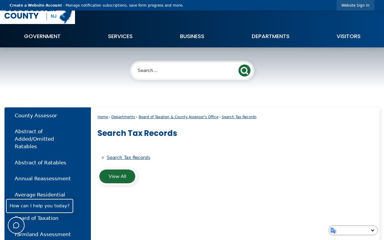
The linked assessment search is the property-record layer. A ZIP result still needs the township setting, situs address, and block-and-lot check before it supports a Monroe Township conclusion.
Note: Preserve the search date and confirm live fields before relying on a vendor version's optional ZIP filter.
Monroe Township ZIP Codes and City Limits
ZIP codes are postal geography, not city limits. The 08094 area reaches into neighboring municipalities and community labels, while 08312 reaches into Monroe Township from the Clayton postal area. A search that rejects a record solely because the mailing city does not say Monroe Township can lose a valid parcel. The reverse error is also possible: a Williamstown ZIP result can belong to a parcel outside the township.
Compare four items before treating an address as local: the USPS delivery result, the municipality chosen in the assessment search, the GIS municipal boundary, and the parcel's block/lot/qualifier. The county GIS uses parcels and geographic layers rather than ZIP boundaries as its core location method. That makes it the better map check when a mailing label and legal location point in different directions.
The Gloucester County GIS gateway connects postal questions back to parcel geography. Its official ArcGIS route helps compare the 08094 and 08312 delivery areas with roads, parcels, and the municipal boundary.
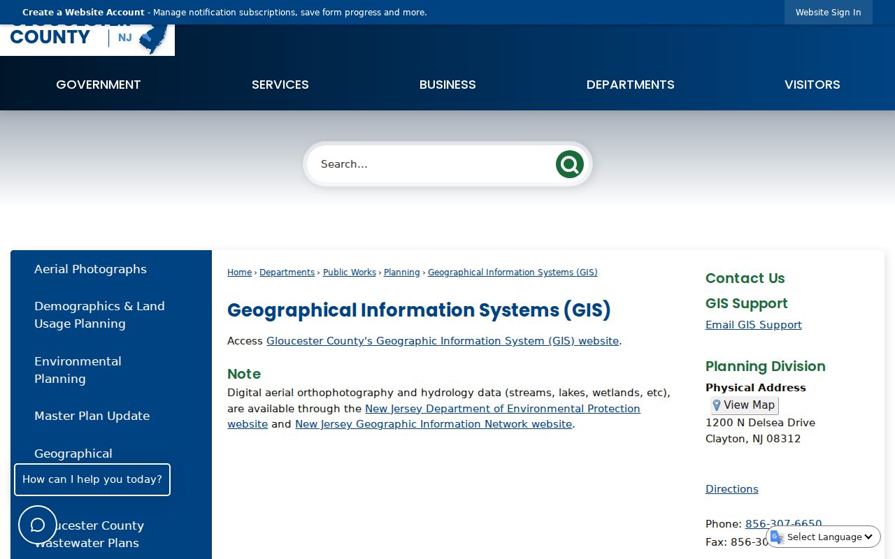
GIS does not assign a mailing ZIP. It does provide the parcel and boundary context needed to interpret a USPS result without confusing delivery coverage with township jurisdiction.
Monroe Township Community ZIP Codes
Williamstown, Cecil, Downer, Cross Keys, Radix, New Brooklyn, and Victory Lakes are useful search terms, but they do not all operate as separate municipalities. Older records can preserve a rural route, farm name, or community label that differs from the modern postal address. The 1913 county directory also reflects a mixed rural and industrial landscape, so a historic place reference can lead to a modern subdivision parcel only after the street, map, and legal description are reconciled.
This records-geography issue is why a ZIP code directory should preserve every label found in a source rather than silently replacing it. Pair the historic label with the current parcel identifiers, then use historic maps or a reverse directory only as supporting context. The local complete run of reverse directories has not been verified, so library and archival staff should confirm holdings before a search relies on one.
Note: The mailing city can differ from the legal municipality, especially where Monroe Township meets the 08312 Clayton delivery area.
Monroe Township ZIP Codes and Voter Lists
New Jersey's individual Voter Search is a name-and-status tool, not a public ZIP-wide directory. It requires the spelling supplied by Gloucester County, and a mismatch can result from a hyphen, space, middle initial, married-name change, nickname, date of birth, or county selection. It also does not provide a public mode that lists every voter in 08094 or 08312.
Under N.J.S.A. 19:31-18, registry lists are arranged by election district and include specified fields subject to redactions. Protected addresses and identifying numbers are withheld. A person whose address does not display may be protected, and an absent result is not proof of non-registration. For an individual status check, use the official New Jersey Voter Search; election-district list requests go through county election channels and carry statutory use restrictions.
ZIP information can help orient an address, but an election district is the public-record geography for voter lists. Keep those two systems separate when verifying a Monroe Township address.
Monroe Township ZIP Code Record Trail
Once a ZIP has narrowed the address, county assessment records, GIS, and land records form a more dependable trail. Assessment identifies the owner, mailing and situs addresses, block/lot/qualifier, class, assessment, exemptions, and sale or deed references. GIS supplies the polygon and nearby roads. The Gloucester County Clerk's land-record index then connects a parcel or owner to recorded instruments. The online computer index has series-specific starting points, so older work may require the Record Room, microfilm, the Gloucester County Historical Society, State Archives, or FamilySearch.
For county records that are not restricted, OPRA provides another route. Gloucester County's online OPRA request form asks a requester to identify the record type, date range, parcel or address, and preferred delivery. Court and Surrogate records follow Judiciary procedures instead. A precise request for one parcel produces a more useful answer than a ZIP-wide request, because ZIP boundaries do not match the county's parcel system.